The tide decides when anyone leaves piece 4 of 5
The Quirimbas, further north than most people go
A chain of coral islands running along the northern Mozambican coast, backed by a mainland park that almost nobody reaches.
- Archipelago length
- roughly 250 km along Cabo Delgado province
- Islands in the chain
- 32
- Park gazettement
- 2002, one of few Mozambican parks combining marine and terrestrial zones
- Mainland park area
- approximately 7,500 km²
- Nearest airport
- Pemba, with domestic connections to Maputo
The archipelago itself
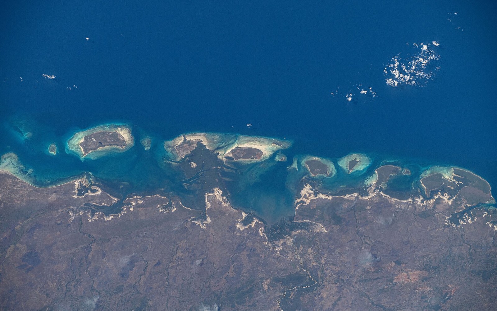
The Quirimbas Archipelago stretches for roughly 250 kilometres along the coast of Cabo Delgado province, from just south of Pemba up toward the Tanzanian border. Thirty-two islands make up the chain, some of them coral cays barely above high water, others substantial enough to have permanent settlements. The archipelago sits inside the Quirimbas National Park, gazetted in 2002, which is unusual in Mozambique for incorporating both marine and terrestrial territory in a single designation — the park boundary runs across the water and then jumps to the mainland, covering a slab of miombo woodland and coastal forest that few visitors ever enter.
The northern islands are the ones most often described: Ibo in particular, a small island that was once a significant Portuguese administrative and trading centre, its stone-built fort and treasury still standing. The fort dates to the eighteenth century and Ibo's position as a hub for ivory and slave trading is part of the historical record. The town that remains is quiet and substantially ruined, which is also what gives it its character — roofless warehouses, frangipani pushing through courtyard walls, silverworkers who have worked the same craft in the same location for generations. The island is reached by boat from the mainland town of Pemba, a trip of several hours depending on conditions and vessel.
The coral reefs running between the islands are in reasonable condition by Indian Ocean standards, having escaped the concentrated fishing pressure that has damaged reefs further south. Surveys have documented healthy populations of reef fish, and the wider park waters are among the few places along this coast where dugongs are still occasionally recorded, though the western Indian Ocean population centred further south on Bazaruto remains the larger one. Nesting sea turtles use several of the beaches, and humpback whales move through the channel between July and November.
The fort dates to the eighteenth century and Ibo's position as a hub for ivory and slave trading is part of the historical record.
The mainland park
Behind the islands, the terrestrial portion of Quirimbas National Park covers around 7,500 square kilometres of northern Mozambican bush. This is miombo — the open, dry woodland of Brachystegia and Julbernardia trees that covers enormous swaths of central and southern Africa — mixed here with patches of coastal forest and a river system that drains toward the sea. The park holds elephant, buffalo, lion and leopard, though populations were heavily impacted by hunting pressure during and after the civil war and have not recovered to the degree that Gorongosa's have under sustained management. Wildlife counts for Quirimbas's mainland are less frequently published and less systematically conducted than those from the south, which makes the situation harder to assess with precision.
Access to the terrestrial park is genuinely difficult. Roads in Cabo Delgado province degrade substantially in the wet season, and the park has limited ranger infrastructure relative to its size. This is the condition the guide title refers to: not inaccessibility in a dramatic sense, but the ordinary friction of distance and underdeveloped roads that keeps visitor numbers low and keeps most of the park unvisited in any practical sense.
Historical note
- Ibo Island
- former Portuguese administrative centre; eighteenth-century fort; documented history as ivory and slave-trade hub; silverworking tradition continues
Where this leaves the Quirimbas
The archipelago's northern position means it sits outside the circuits most people draw when they travel the Mozambican coast. Vilankulo and the Bazaruto Archipelago are more than a thousand kilometres to the south, Ilha de Moçambique lies much closer to Pemba than to Bazaruto. Pemba, the nearest mainland city with an airport, handles domestic connections from Maputo but international visitors are comparatively few.
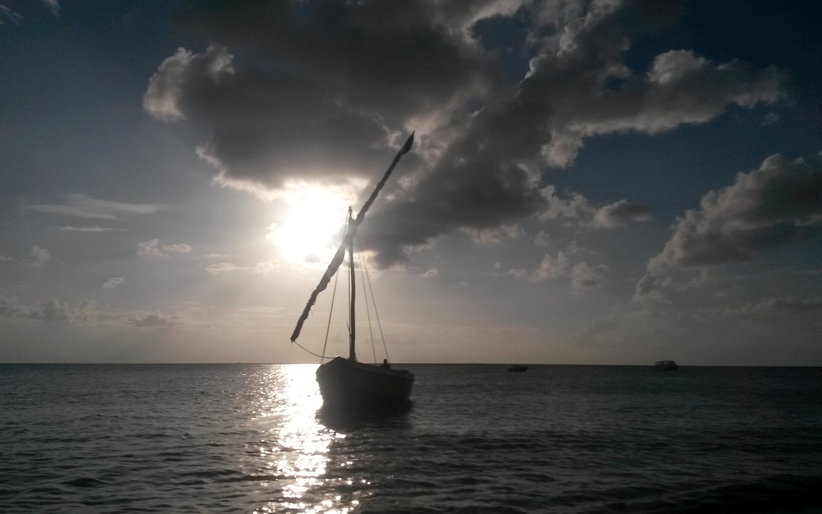
What that means in practice is that the Quirimbas operates at a pace set by its own logistics rather than by visitor demand. The dhow is still the functional boat here, moving between islands on lateen sails or outboard motors, carrying fish and supplies rather than tourists. The stone ruins of Ibo record a history that ran through this stretch of coast for several centuries before the south became the centre of things. The reef continues whether anyone is watching it or not.
Roads in Cabo Delgado province degrade substantially in the wet season, and the park has limited ranger infrastructure relative to its size.