The tide decides when anyone leaves piece 2 of 5
Bazaruto, and the last dugong
The Bazaruto Archipelago is a marine park with a particular claim: the seagrass beds between its islands hold more dugongs than anywhere else in the western Indian Ocean.
- Park area
- approximately 1,430 km², mostly open water
- Main islands: five
- Bazaruto, Benguerra, Magaruque, Bangué, Santa Carolina
- Park declared
- 1971; expanded to current marine extent in the 1990s
- Dugong population estimate
- typically 200–400 individuals across published surveys
- IUCN status for Dugong dugon
- Vulnerable (global)
- Female reproductive interval
- one calf every 3–7 years
- Whale season
- humpbacks pass June–November
What the archipelago is
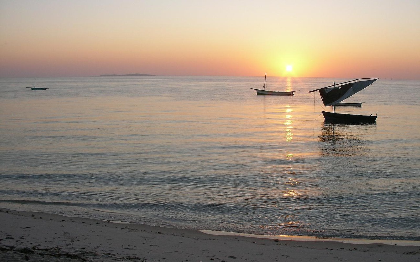
Five main islands — Bazaruto, Benguerra, Magaruque, Bangué, and Santa Carolina — sit in the Mozambique Channel roughly twenty kilometres off Vilankulo, separated from the coast by a shallow lagoon that bottoms out over wide seagrass meadows. The water inside the chain is warm, tidal, and heavily influenced by the channel between the islands and the mainland: it drains and floods on a schedule that determines when a boat can move and where it can go. Outside the chain, the Indian Ocean deepens fast; humpback whales pass through on their annual migration between June and November.
The whole group, along with the surrounding waters, is gazetted as Bazaruto Archipelago National Park — one of Mozambique's oldest, declared in 1971 and expanded to its current marine boundaries in the 1990s. The park covers roughly 1,430 square kilometres, the majority of that open water. There are freshwater lakes on Bazaruto island itself, remnants of the dune systems that formed when sea levels were lower, and the island's interior supports a limited terrestrial fauna, including small populations of reedbuck and samango monkeys. But the reason marine biologists come here, and the reason the archipelago carries weight in Indian Ocean conservation literature, is the dugong.
The animal and its habitat
The dugong (Dugong dugon) is a large marine mammal, the only surviving member of the family Dugongidae, and a herbivore specialised almost entirely on seagrass. It grazes by rooting through the sediment with a broad, muscular snout, leaving characteristic feeding trails — troughs scraped clean of grass — that are themselves a survey tool. Dugongs move slowly, surface to breathe every few minutes, and are acutely sensitive to hunting pressure and habitat disturbance. Their reproductive rate is low: a female produces a single calf at intervals of three to seven years. Once a population collapses, recovery is measured in decades, if it comes at all.
Across the western Indian Ocean — the Arabian Sea, the East African coast, the Red Sea — dugong numbers have contracted sharply over the past century. Hunting, fishing-net entanglement, and seagrass loss through coastal development and water quality change have all contributed. The IUCN lists the species as Vulnerable globally, though regional subpopulations along the African coast are regarded as considerably more precarious than that assessment suggests.
Dugongs move slowly, surface to breathe every few minutes, and are acutely sensitive to hunting pressure and habitat disturbance.
Bazaruto is the exception. The seagrass beds in the lagoon — primarily species of Thalassia, Halodule, and Cymodocea — are extensive, relatively undisturbed, and shallow enough to be accessible to grazers year-round. The park's formal protection has kept net fishing and motorised traffic limited within much of the core zone, reducing two of the principal sources of dugong mortality. The combination of habitat quality and effective, if imperfect, enforcement has allowed the population here to persist while equivalent populations elsewhere on the East African coast have disappeared or contracted to remnant groups.
Terms used
- Dugong
- large marine herbivore; sole surviving member of family Dugongidae; grazes on seagrass
- Seagrass
- submerged flowering plants forming the dugong's primary food source and habitat
- Aerial transect
- systematic survey method: aircraft flies defined corridors, observers count visible animals
- Feeding trail
- a scraped trough in the seagrass bed left by a grazing dugong; used as indirect evidence of presence
What the surveys say
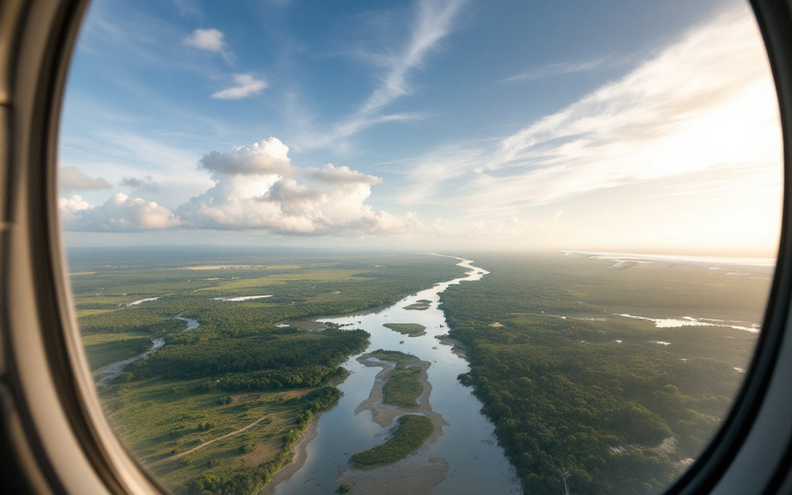
Population estimates for dugongs are produced primarily through aerial surveys — systematic transect flights across defined water areas at a set altitude and speed, counting animals visible at the surface or just below it. The method is the same used to count large mammals in terrestrial parks: aerial transect surveying, adapted for a marine environment where visibility depends on water clarity, sun angle, and sea state as much as animal density.
Published surveys from the Bazaruto area have been conducted periodically since the 1990s. The figures they produce vary with conditions, observer effort, and methodology, and any single count is understood to be a minimum — animals missed through obscured visibility are not counted, so the true number is always somewhat higher than the recorded one. Across multiple surveys, the Bazaruto population has been estimated in the low hundreds, with figures typically ranging between two hundred and four hundred individuals depending on survey year and method. A 2013 analysis of dugong distribution and abundance in the western Indian Ocean, published in the journal Oryx, identified Bazaruto as the only site in the region holding a population of meaningful size.
Survey data are also used to examine spatial distribution within the park — where animals concentrate, which seagrass beds they prefer, and how their range relates to the boundaries of the protected zone. This matters because protection is only useful where it overlaps with habitat use. In Bazaruto, surveys have confirmed that the densest aggregations occur in the central lagoon, in the area with the most continuous seagrass cover and the least boat traffic. That alignment between the park's core zone and the animals' preferred range is not accidental; it shaped where boundaries were drawn.
Hunting, fishing-net entanglement, and seagrass loss through coastal development and water quality change have all contributed.
What limits the count
Aerial surveys have inherent constraints. Water clarity over seagrass beds varies with tide and wind, and a turbid day produces counts that cannot be directly compared to a calm one. Dugongs at depth, or in shadow, are missed entirely. Survey aircraft must fly at altitudes and speeds that allow observers to distinguish animals from shadows, debris, and other features — a practical limitation that varies between observer teams. For these reasons, ecologists working with dugong survey data treat population figures as indices and trends rather than absolute totals, and they emphasise the importance of consistent methodology across repeated surveys so that change over time can be detected even if the absolute number remains uncertain.
What the surveys do establish clearly is relative significance. No comparable population exists in the western Indian Ocean. The dugong populations historically recorded off Somalia, Kenya, Tanzania, and elsewhere along the East African coast have either vanished or persist at levels too low to sustain themselves without intervention. Bazaruto's several hundred animals represent, in the current state of knowledge, the last functioning breeding population along this coastline.
The park itself is not static. Seagrass extent is not guaranteed: water quality, sedimentation, and sea surface temperature all affect it, and climate pressures on tropical seagrass systems are documented and ongoing. The dugong population's long-term persistence depends on what happens below the surface as much as on what happens above it.