Maputo argues with the light piece 3 of 4
The grid, and the bay
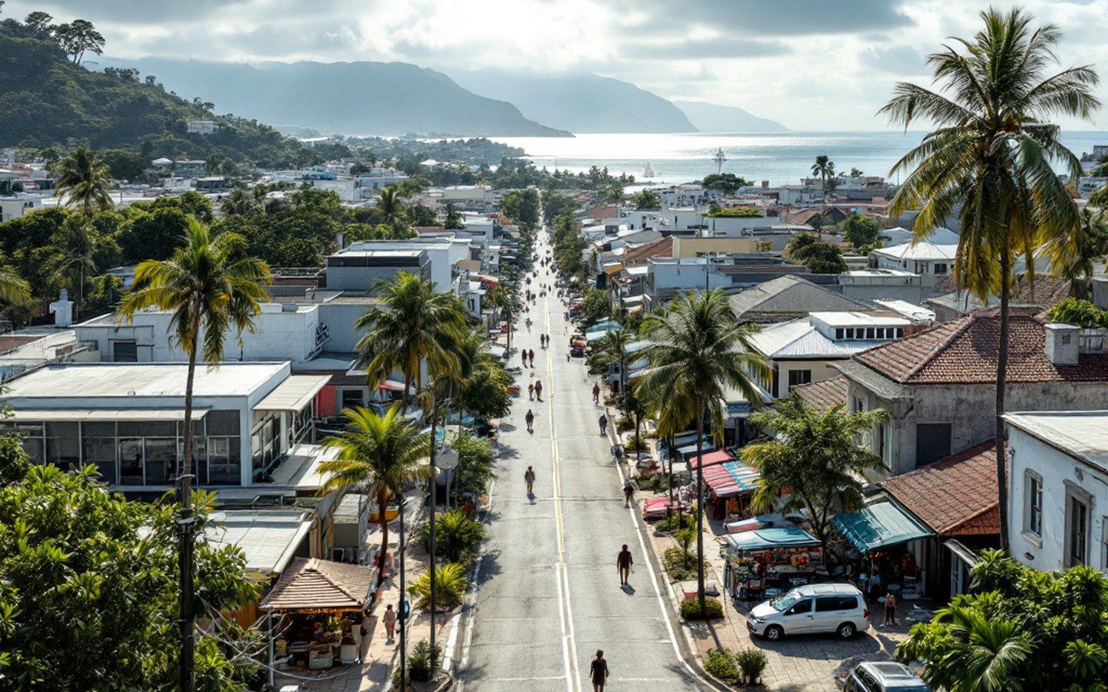
Maputo's colonial street plan is still the structure of daily life — a rectilinear grid that ends, dramatically, at the cliff above the water.
- The baixa
- the lower city; the colonial-era central district where the grid is most intact
- Avenidas
- the east–west boulevards running parallel to the waterfront
- Ruas
- the cross streets that complete the right-angle grid
- Praça dos Trabalhadores
- main square at the grid's civic centre
- Avenida Marginal
- the esplanade road running along the cliff edge above the bay
What the Portuguese built
When Lourenço Marques — the city's name until 1976 — was formally laid out in the late nineteenth century, its planners imposed a right-angled grid over the low plateau above Delagoa Bay. The logic was Enlightenment-era Portuguese urbanism: broad avenidas running parallel to the waterfront, ruas crossing them at ninety degrees, each block a predictable rectangle. The plan was not ambitious by Lisbon's standards, but it was consistent, and consistency turned out to be durable. Mozambique became independent, the street names changed — Avenida 24 de Julho, Avenida Eduardo Mondlane, Avenida Karl Marx — and the grid did not.
The baixa, the lower city, is where the grid is most legible. Walk from Praça dos Trabalhadores toward the waterfront and the perpendiculars are exact; you feel the plan working. Buildings of three and four storeys line streets wide enough for a colonial boulevard's unhurried traffic. The concrete is varied in colour and weathered in specific ways, streaked by decades of tropical moisture, and the shadows fall sharply because the streets are straight. It is a city that rewards being walked slowly and systematically, block by block, which is exactly what the grid invites.
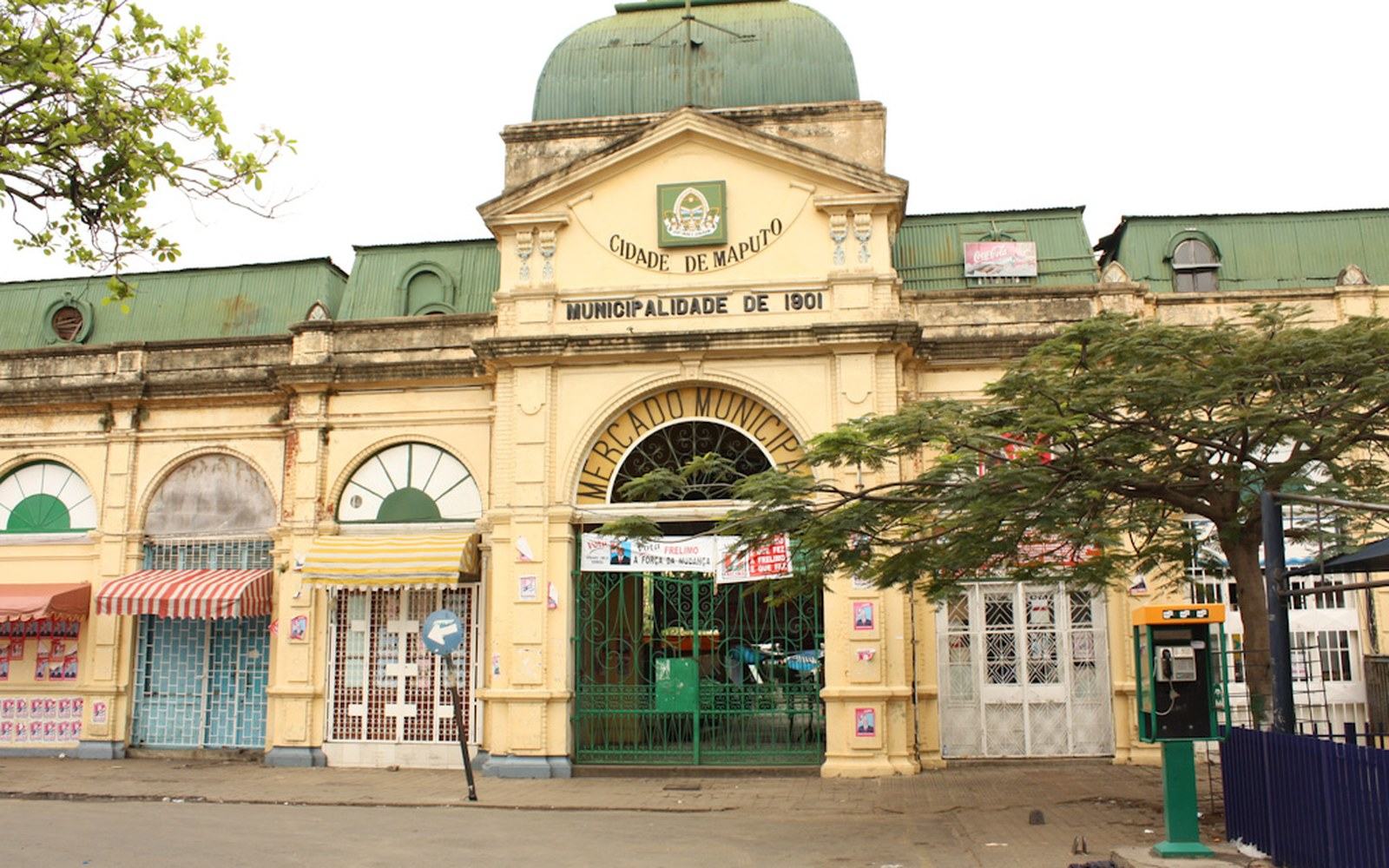
The plan's most striking consequence is the cliff. Maputo sits on a low bluff above the bay, and the grid simply runs to the edge and stops. From the esplanade — Avenida Marginal follows the rim — you look out over Delagoa Bay toward the mangroves and the channel, and the abrupt transition from rectilinear city to open water is unlike anything the interior streets prepare you for. The bay is enormous, roughly 30 by 90 kilometres, one of the largest natural harbours on the east African coast, and from the bluff it reads as a sudden, horizontal negation of everything behind you.
The baixa, the lower city, is where the grid is most legible.
What the plan made room for
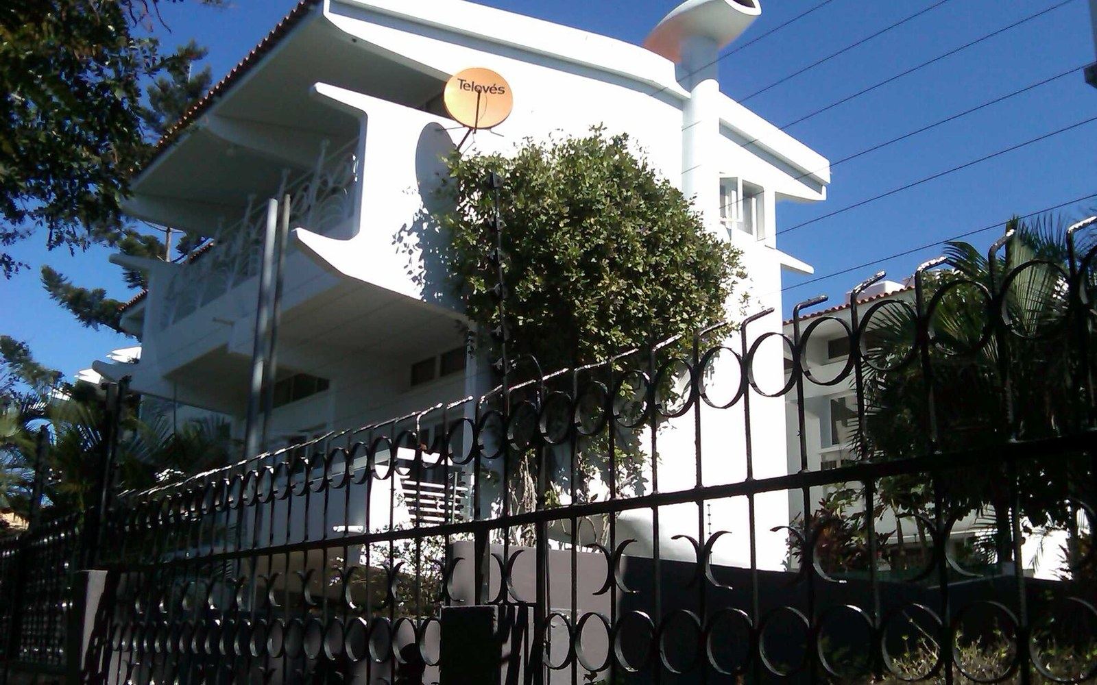
The grid is not merely inherited infrastructure — it structured what Maputo's architects did with modernism. When Amâncio d'Alpoim Miranda Guedes, known as Pancho Guedes, began practising here from the early 1950s, the rectilinear plot system gave him clear parcels on which to do exactly what he chose. His buildings — the Smariaz, the Abacus, dozens of residential blocks and commercial frontages — are legible as individual acts of invention precisely because the grid holds them steady. Without the plan's order, the disorder of Guedes's façades would read differently. The city in this sense is a continuous argument between the straight line and everything that refuses it, conducted at the scale of individual buildings in otherwise predictable blocks.
Beyond the baixa, the grid loosens. The northern neighbourhoods, the areas built in successive decades after independence, follow the logic only partially; the topography and the pace of informal growth were always stronger than any plan. But the core holds. Avenida Samora Machel, the principal commercial artery, still bisects the grid cleanly, and the intersections still produce the particular quality of Maputo's street life — vendor stalls at corners, shade trees planted in the median strips, the recurrent geometry of a crossing.
What to look for at street level
- The cliff edge where the grid terminates and Delagoa Bay opens
- Weathered modernist façades on otherwise regular colonial blocks
- CFM terminus at the grid's southern anchor, facing the water
The CFM railway terminus stands at the southern edge of this order, facing the bay along tracks that shaped the city's growth from the 1890s onward. The port, the railway and the grid all pointed toward the same logic: Maputo was designed as a transit node, a city that faced the water because the water was the point. The bay's natural harbour depth made everything else possible. The streets exist, ultimately, because the bay was there first.
It is a city that rewards being walked slowly and systematically, block by block, which is exactly what the grid invites.