Gorongosa publishes its numbers piece 4 of 4
Niassa, which almost nobody visits
One of the largest protected areas in Africa sits in the far north of Mozambique, barely mapped and almost entirely unvisited.
- Area: approximately 42,000 km²
- one of the largest game reserves in Africa
- Province
- Niassa, far north of Mozambique
- Eastern boundary
- Cabo Delgado province
- Main river
- the Lugenda
- Nearest town with airport
- Lichinga (~200 km west of reserve)
- Rainy season (impassable tracks)
- November–April
- First gazetted
- 1954 (Portuguese colonial administration)
A reserve the size of a small country
Niassa Reserve covers roughly 42,000 square kilometres of miombo woodland, rocky inselbergs, and river corridors in Niassa province — making it one of the largest protected areas on the African continent and larger than Switzerland. The Lugenda River runs through it. The Rovuma River forms its northern boundary, along the border with Tanzania. Between those two anchors lies a landscape that very few outsiders have seen at ground level and that most maps render as an undifferentiated green block.
The reserve was gazetted in 1954 under Portuguese colonial administration and redesignated under Mozambican law after independence. Its legal status has shifted more than once: it operated for years under a public–private management model, with Niassa Carnivore Project and other organisations conducting research inside it. The wildlife populations are significant — elephant numbers in the thousands, the highest density of African wild dogs in Mozambique, lion, leopard and large herds of buffalo — but they are not counted on any regular public schedule comparable to Gorongosa's published aerial transect surveys. The figures that circulate tend to come from NGO research cycles, and they vary.
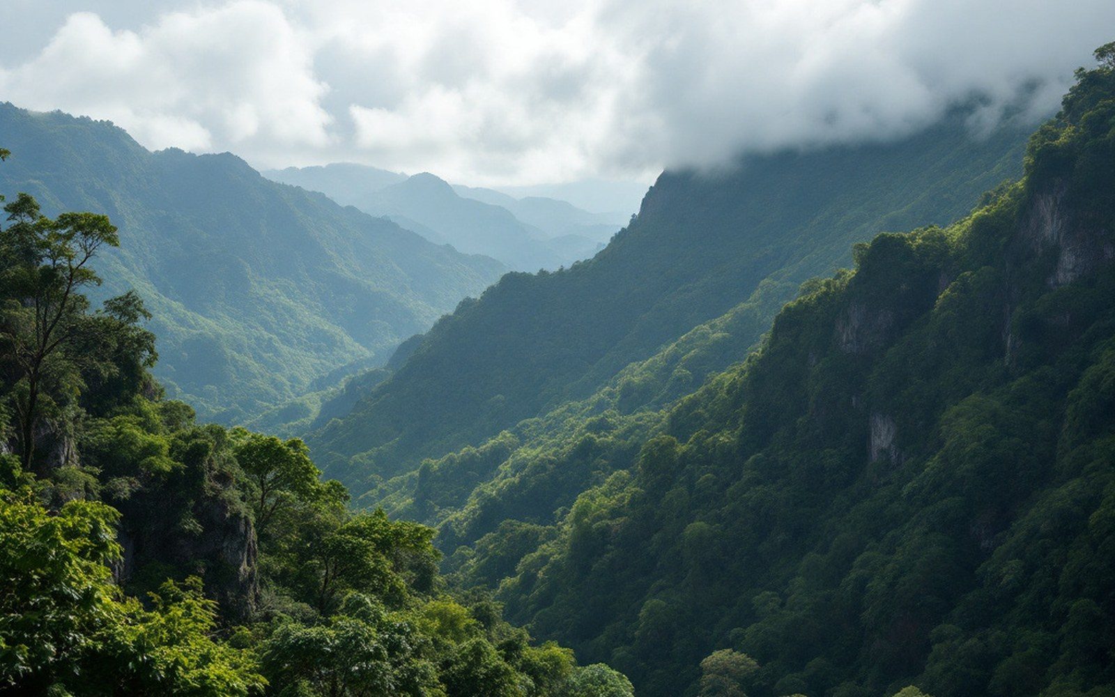
The terrain explains the isolation. There are no tarred roads into the reserve. The nearest airport with scheduled service is Lichinga, the provincial capital, roughly 200 kilometres to the west. Internal movement relies on bush tracks that become impassable during the rainy season, which runs from November to April. The miombo — a dry open woodland of Brachystegia and Julbernardia trees that gives the landscape its particular pale-gold colour before the rains — is not the kind of scenery that photographs as easily as savanna or coast. There is nothing here arranged for a visitor.
What exists instead is a reserve that remains, in ecological terms, largely intact across a genuinely vast area. African wild dog range and population research identifies Niassa as one of the species' strongholds precisely because human pressure inside the reserve is low. The same logic applies to the elephant population, which ranges across the Tanzanian border into the Selous–Niassa corridor — one of the longer documented wildlife movement routes in eastern Africa.
The reserve was gazetted in 1954 under Portuguese colonial administration and redesignated under Mozambican law after independence.
Almost nothing has been written about Niassa for a general audience. The Quirimbas get the coral islands; Gorongosa gets the counted mammals and the restoration story. Niassa gets the silence, the Lugenda, and the distance that is its own form of protection.
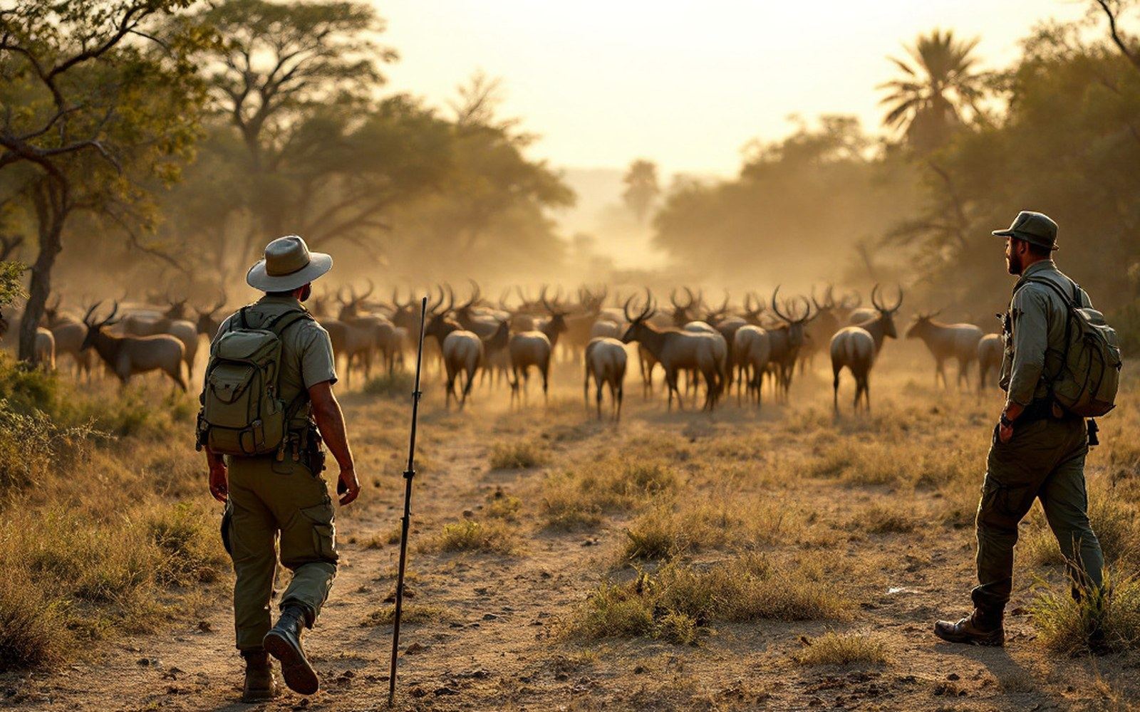
Internal movement relies on bush tracks that become impassable during the rainy season, which runs from November to April.