Gorongosa publishes its numbers piece 3 of 4
Miombo, and the mountain above it
The floodplain gets the attention. The mountain above it is why the floodplain exists.
- Mount Gorongosa
- ~1,863 m; source of the rivers feeding Lake Urema and the floodplain
- Lake Urema
- Ramsar-listed wetland; the lowland basin the mountain drains into
- Vunduzi, Muera, Nhandugue
- rivers descending the mountain into the park basin
- Miombo
- Brachystegia-dominated woodland between the montane forest and the floodplain
The forest that makes the water
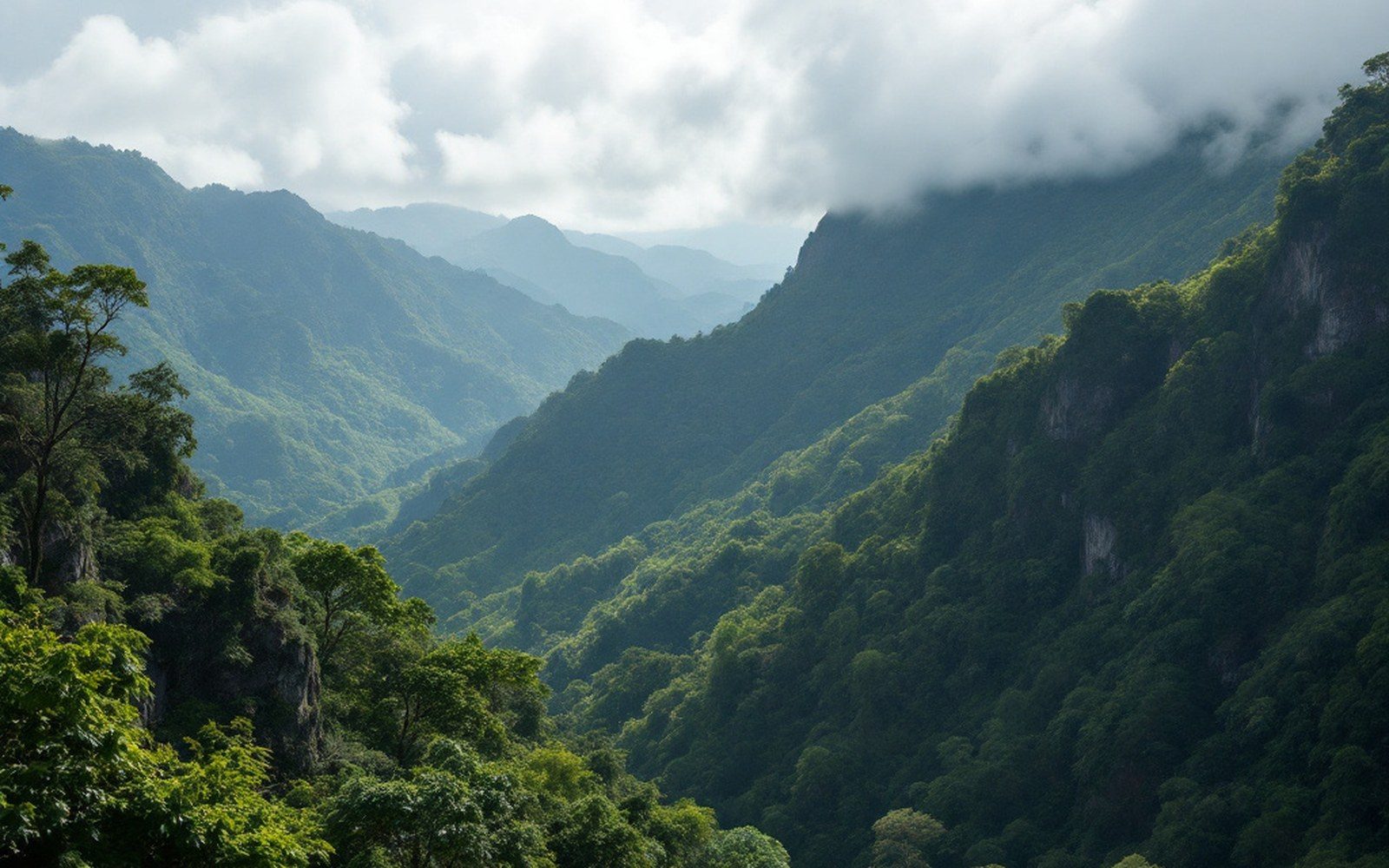
Gorongosa National Park sits at the southern tip of the East African Rift, and most of what gets written about it concerns the animals on its floodplain — the buffalo rebuilding their numbers, the lions, the hippo-crowded margins of Lake Urema. But the ecological logic of the place runs uphill. Mount Gorongosa, rising to around 1,863 metres at the park's northwestern edge, catches moisture from the Indian Ocean and wrests it out of the air. The forest on its upper slopes — dense, montane, permanently wet — is the source of most of the water that flows down into the basin and fills Lake Urema each rainy season. Without the mountain, the floodplain is not a floodplain; it is just low ground.
The mountain is not technically inside the original park boundary. Gorongosa National Park as constituted covers roughly 4,067 square kilometres of lowland and transitional habitat, and the mountain was for years a separate matter — forested, farmed on its lower slopes, and not formally protected. A buffer zone was eventually established to include it, and it is now treated as integral to the park's hydrology even where the legal boundary does not perfectly reflect that. The relationship between the mountain and the water system below has been documented in research conducted through the Gorongosa Restoration Project, which has been working in the park since the mid-2000s.
Miombo on the descent
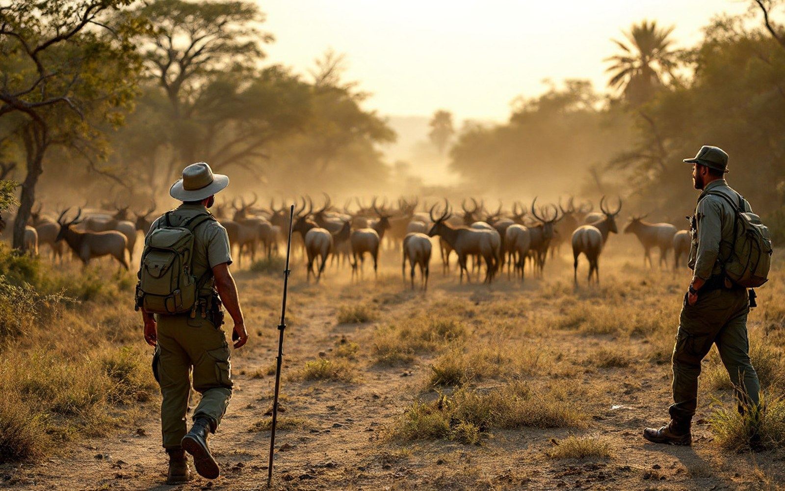
Below the rainforest, as altitude drops and the soils thin and dry, the vegetation transitions into miombo — the Brachystegia-dominated woodland that covers enormous stretches of central and southern Africa and frames much of what you see as you move through the park's middle ground. Miombo is not jungle and it is not savanna; it is something in between: open enough to walk through, dense enough to give shade, the canopy a pale copper-gold when the new leaves flush at the start of the rains before they turn green. It is the dominant vegetation type across much of the Zambézian bioregion, and Gorongosa sits at its southeastern edge.
The miombo in Gorongosa shelters a different set of species than the floodplain does. Sable antelope move through it. Elephants use it for cover in the heat of the day. Certain bird species — among them the miombo pied barbet and several members of the cisticola family — are effectively restricted to this woodland type and are essentially invisible to anyone who stays at the water's edge. The park's published wildlife counts, which have tracked large mammal recovery since the post-civil-war census work began in earnest in the 2000s, cover the floodplain most completely; the miombo margins are harder to survey by aerial transect and the numbers there carry wider margins.
The Lake Urema system is itself a Ramsar-listed wetland, recognised for its waterbird populations and its ecological productivity.
What the mountain supplies
The hydrology is direct. The montane forest on upper Gorongosa intercepts cloud and rainfall, holds it in the soil and releases it slowly through a network of rivers — the Vunduzi, the Muera, the Nhandugue among them — that converge in the basin and become Lake Urema and its surrounding seasonal wetlands. The Lake Urema system is itself a Ramsar-listed wetland, recognised for its waterbird populations and its ecological productivity. Remove the tree cover on the mountain and you lose not rainfall but retention — the water that falls would run off quickly rather than recharging the system through the dry season, and the floodplain would shrink accordingly.
This is why reforestation on the mountain's lower slopes, where subsistence farming has cleared forest over generations, has been a stated priority of the restoration work. It is also why the mountain is increasingly understood not as a scenic backdrop to the park but as its engine. The animals on the floodplain — the waterbuck, the hippopotamus, the fish eagles working the shallows of Urema — are downstream consequences of processes that start in forest no visitor ever sees, in cloud and root and slow percolation, on a mountain that supplies most of the water.
Ecological sequence (worth displaying as a flow)
- Montane rainforest (cloud interception, water retention)
- rivers descend
- Lake Urema fills
- floodplain floods
- large mammal populations sustained